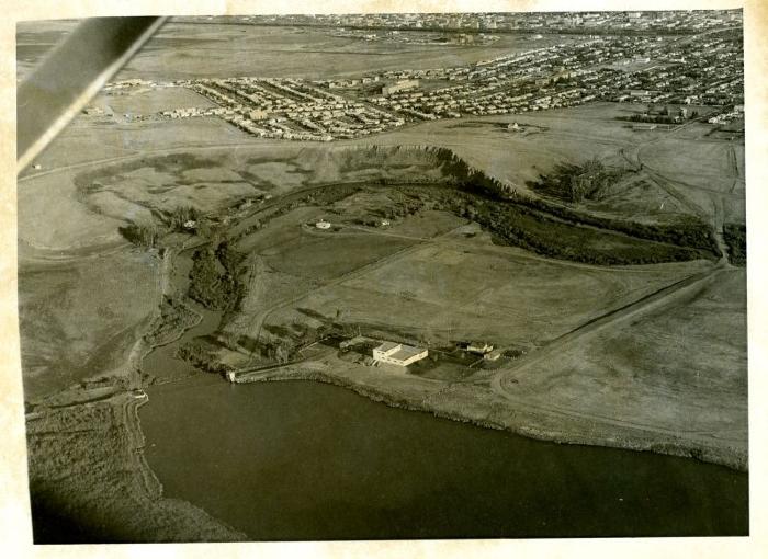
Aerial View of Farm and Housing
Archival item
2003.26.50
1975
An aerial view of Swift Current, taken from south of town. The railway tracks are along the top edge of the photo, with cut banks near the center. The photo shows a good view of the south side of the city. It was likely taken c. 1970s, as the overpass has already been built.
Photographic Paper
"Aerial photos used extensively" written on back
Communication Artefacts, Documentary Artifact, Print, Photographic
