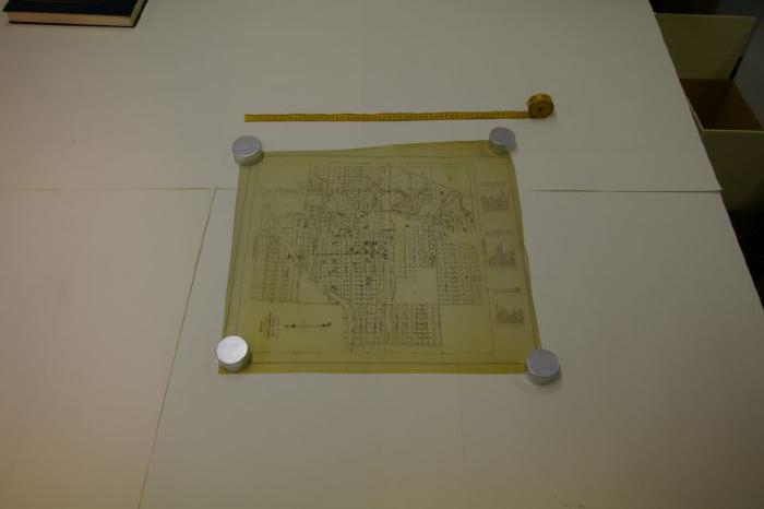
Main Streets & Buildings In Swift Current Map (c.1960)
Artifact
1999.19.61
1960
Plan of the City of Swift Current, including main streets and buildings, from c.1960. The map contains a key to circled numbers that represent buildings. It is also not to scale.
Paper
Communication Artefacts, Documentary Artefact, Map
